The models proved highly accurate in estimating Leaf Area Index and were able to differentiate between varying levels of water stress across 17 commercial chickpea fields.
By Pesach Benson, TPS
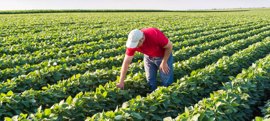
A machine learning tool unveiled by Israeli scientists on Monday is giving chickpea farmers new ways to monitor crop health from space — and may soon help growers of other staples such as wheat and corn.
The Hebrew University of Jerusalem study, published in the peer-reviewed European Journal of Agronomy, combines satellite imagery with weather data to guide smarter irrigation and improve yields, marking the first large-scale use of such technology in chickpea farming.
By integrating high-resolution Sentinel-2 satellite images with weather data, the team developed models capable of estimating key plant health indicators: Leaf Area Index (LAI) and Leaf Water Potential (LWP), metrics essential for understanding canopy development and water stress in chickpeas, a crop vital to many semi-arid regions.
The project was led by Ph.D. candidate Omer Perach, under the supervision of Dr. Ittai Herrmann at the Robert H. Smith Institute of Plant Sciences and Genetics in Agriculture.
“Our goal was to create something that doesn’t just work in the lab but helps farmers in the field,” said Perach.
“With this system, we can offer growers spatial maps of plant development and water status across their entire field. This kind of information allows for more precise and timely irrigation.”
The scientists trained their system on real-world commercial fields and tested it using a “leave-field-out” approach, which simulates conditions where new fields have not been used to train the models.
This makes the tool more applicable for farmers who need reliable insights without prior calibration for their specific land.
The models proved highly accurate in estimating Leaf Area Index and were able to differentiate between varying levels of water stress across 17 commercial chickpea fields.
By aligning physiological maps with irrigation schedules, the researchers demonstrated how farmers could anticipate crop needs, adjust water use, and ultimately improve yields.
“The response of chickpea plants to irrigation regimes can be observed from space,” Herrmann said.
“What we’ve developed is a scalable way to detect within-field variability using free satellite data and standard weather station inputs. This helps transform intuition-based farming into data-driven management.”
Although chickpeas were the first test case, the team emphasized broader applications.
“The methodology is not limited to chickpeas,” said Perach. “With the right training data, we could adapt it to wheat, corn, or other crops, giving farmers everywhere better tools to handle irrigation and climate challenges.”
Do You Love Israel? Make a Donation - Show Your Support!

Donate to vital charities that help protect Israeli citizens and inspire millions around the world to support Israel too!
Now more than ever, Israel needs your help to fight and win the war -- including on the battlefield of public opinion.
Antisemitism, anti-Israel bias and boycotts are out of control. Israel's enemies are inciting terror and violence against innocent Israelis and Jews around the world. Help us fight back!

